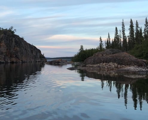
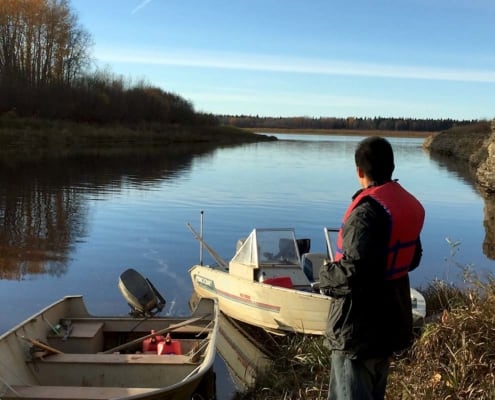
By Watershed > Where are the fish?
By Watershed > Can I eat the fish?
By Watershed > Can I drink the water?
By Watershed > How is the land changing?
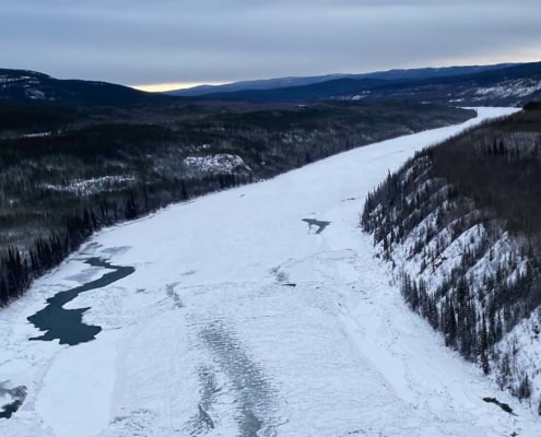
By Watershed > Is it safe to travel?
By Watershed > How healthy are we?
By Watershed > What about the youth?
By Watershed > What about the future?
By Watershed > Climate impacts
By Watershed > Oil sands and mining
By Watershed > Hydro development
By Watershed > Cumulative Impacts
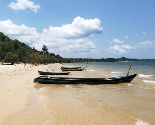
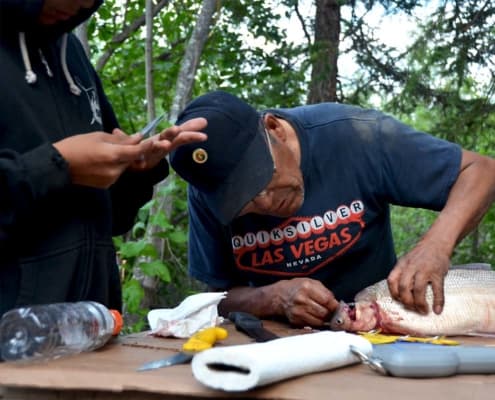
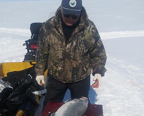
 Fishing is central to livelihoods across the Amazon, both as a source of animal protein and as a key component of economic activity. Fishers’ knowledge can provide important information about changes in fish abundance. While scientific sources do not have sufficient baseline data, fishers’ knowledge extends reliably into the past. Local fishers can provide crucial information about habitats for fish reproduction, migration, and fisheries.
 In the Athabasca watershed, encroaching industries have caused declines to fish populations. Further, commercial fishing by local outfitters is making it difficult for local people to access the fish that remain.
 “…the cisco fish is not around. The little white fish, they have a slavey name for it; they’re not around. And we haven’t seen grayling here at this spot. We have not seen the walleye…not up here. And we have not seen loche… and we haven’t seen jackfish yet. Maybe they’re late…”
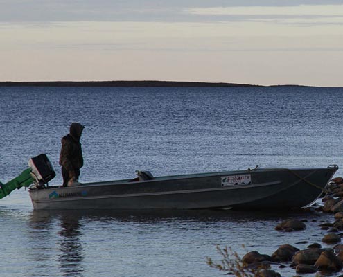 Aside from a few species that are appearing more frequently, many people are noticing fish populations declining or moving to different locations. These changes are attributed to a number of causes, including changes to water depth and temperature, forest fires, and changing community values regarding fish.
 Community members report that there are still many fish in upper Kátł’odeh. However, some have noticed changes:
 In the Liard River, the biggest change is that bottom feeders, such as suckers, are no longer observed.
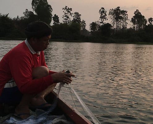 “In the future, my grandchildren might not have fish.” – Weera Suriach, Baan Doom Yai
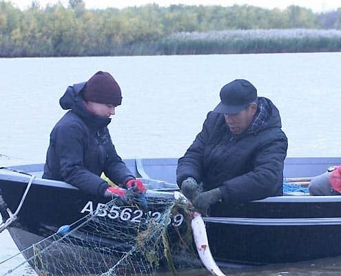 A variety of fish species are harvested across the Peace River watershed, including lake trout, bull trout (Dolly Varden char), rainbow trout, lake whitefish, Rocky Mountain whitefish, northern pike (jackfish), grayling, and burbot (freshwater ling cod).
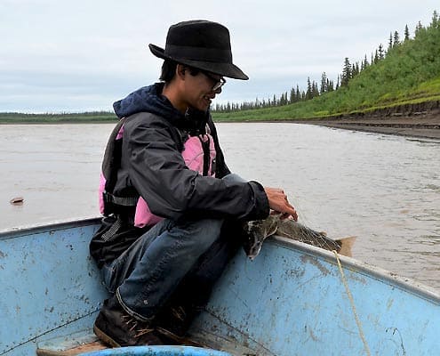 Declining salmon numbers is a critical issue in the Peel watershed, especially in the Stewart River. Salmon numbers have been declining since 2009-10, leading to a ban on salmon harvest in 2014-15.
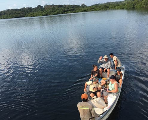
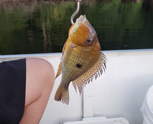 Fishing is a key source of dietary protein for many fishers throughout the Amazon River Basin, including communities along the Tocantins and Tapajós rivers. Food security in these areas is therefore dependent on the continued health of many species of fish.
 “Traditional Ecological Knowledge, stewardship, and harvesting practices based on Dene Laws and values are inseparable from health and wellness. The people, land, lakes, river, animals, and fish are interdependent. Some of the interviewers talk about unhealthy and deformed fish. Other animals depend on fish for their existence. When one aspect of the life cycle is destroyed or misused, there is a domino effect. Imbalance occurs that leads to sickness and ill-health. The people are profoundly impacted on many levels” – Vice Chief Jose Tsannie, Chief Bartholomew Tsannie, Rosalie Tsannie-Burseth, Prince Albert Grand Council, and Herman Michell, 2019
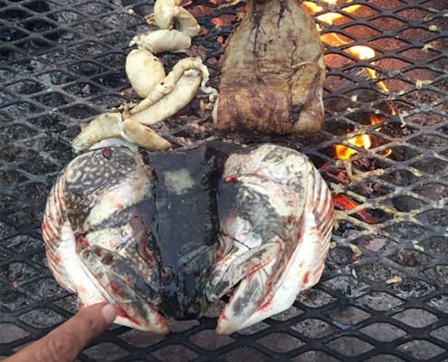 “In the Deh Cho, the land that we live[in] is like the bread and butter for us, because it clothes us and it feeds us and it heats us…. we’re really worried about it because when we did studies on the water and the fish we saw a lot of mercury. But even the scientists today say, what is contributing to the mercury in the fish? Is it the climate change, is it the permafrost thawing? They’re still figuring it out.” – Dehcho K’ehodi Program participant
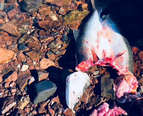 “Elders discussed various Tłı̨chǫ ‘laws’ that people follow to show respect for fish. Different people have slightly different ways of respecting fish. Respecting fish is part of respecting all beings.” – Jody Pellissey and Allice Legat, Wek’eezhii Renewable Resources Board, 2018
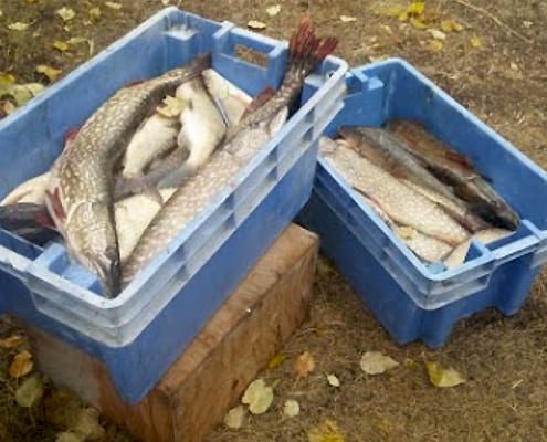 The upper Kátł’odeh continues to be an important site for harvesting. Further north, the river continues to be healthy and pristine.
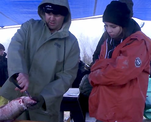 Concerns with fish health in the Peace River sub-basin are primarily focused on mercury levels. As fish become dangerous for consistent human consumption, Indigenous communities are losing a key source of food and income.
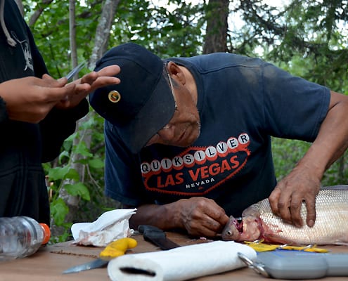 Across the Peel watershed, people are attentive to the health of fish in specific locations.
 “The health of the waters and rivers is inseparable from the health and wellness of Denesuline Peoples that live in the Athabasca region. Water is life. Without water, there is no life. Dene peoples believe that all humans come from water. It has spirit. It is alive. It must be respected. Humans and animals depend on water for existence. Water is a gift from the Great Spirit. Dene peoples have been protectors of their waters and lands from the beginning of time.” – Chief Jose Tsannie, Chief Bartholomew Tsannie, Rosalie Tsannie-Burseth, Prince Albert Grand Council
 Water quality across the Great Bear region varies. Local people know where to access safe drinking water, but they express concerns with contaminants from upstream and local sources.
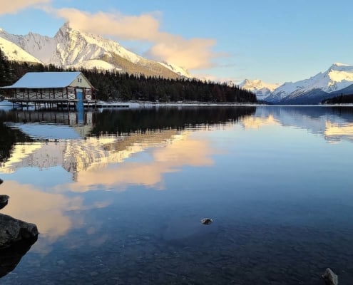
 Water quality depends on where you are in the Great Slave watershed. In places where the water is still of excellent quality, people would like to keep it this way.
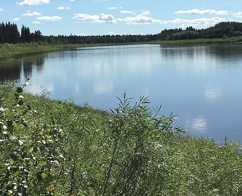 The upper Kátł’odeh is a very important river for both the Dene Tha’ and K’atl’odeeche First Nation. Community members consistently express the negative impacts of oil and gas development on water sources, as well as the need to protect clean water sources that still exist.
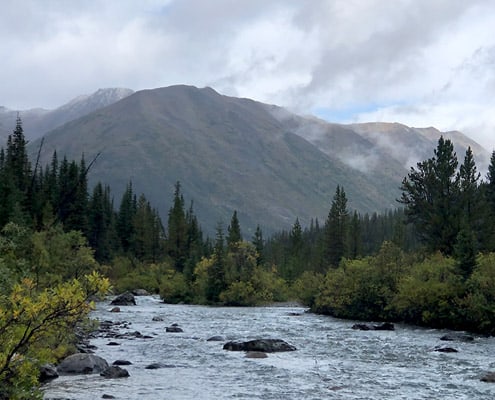 Water in and around the Liard River is held in high regard, and water conservation is of utmost importance for the surrounding communities. The Dena Kayeh Institute of the Kaska Dena is setting up a community water monitoring program as part of setting up a Guardian program on their traditional lands.
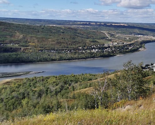 In the Peace River sub-basin, industrial development has impacted water quality, affecting the health of the water and people who rely on the water.
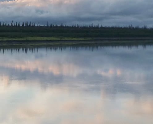 Thirty to fifty years ago, people could drink straight from the Peel River and nearby lakes. Now, communities along the Peel, including Nacho Nayak Dun First Nation and downstream communities at Inuvik, have noticed changes in water quality over time.
 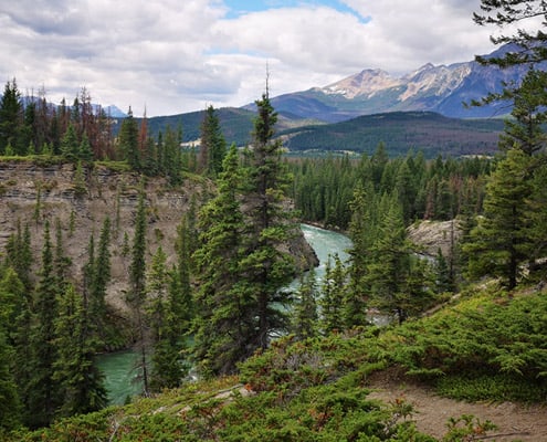 “When I boat, I feel the change, I feel something changing. Like, land … it is changing. When I boat the air is cold.” – JK, Hatchet Lake First Nation
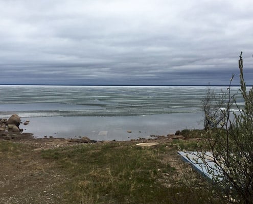 Significant changes to the land are interconnected. They affect waterways, human life, and wildlife populations.
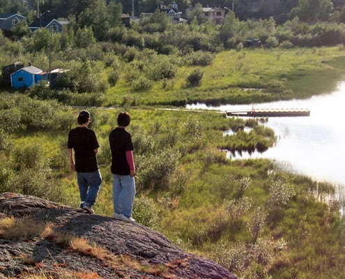 “We always had water, fish, animals. I remember when I was a kid setting rabbit snares anywhere…you dig a hole anywhere in the ground for water, now there is nothing, you have to dig down about 10 feet before you find any water.” – Deninu Kue First Nation
 Even though there are many changes to the land and waters in the Hay River region, cultural sites along the river remain significant. The Dene Tha’ in particular continue to visit and maintain important sites.
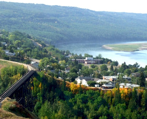 As with other sub-basins surrounding the Mackenzie River, the Peace River watershed has seen lower water levels. Lower water means poorer fish spawning grounds in the Peace tributaries. It also leads to a general drying of the land, leading to an increase in forest fires.
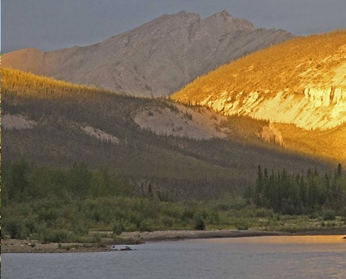 In the Peel River region, changes to the land are linked to human causes, as well as changes in climate. Community members across the Peel region are noticing increased erosion, leading to banks and trees falling into rivers, increased landslides, thaw slumps (or “sinkholes”), and muddier water.
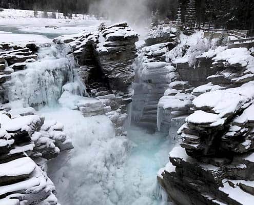 The Athabasca River is profoundly impacted by water withdrawals from hydroelectric dams. Reduced water levels are also compounded by climate change.
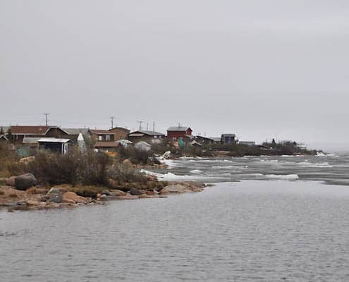 “But now I notice it’s not as strong as it used to be. And the water there is … getting shallower… I used to find that when the nets were lower in the water… we get more char…
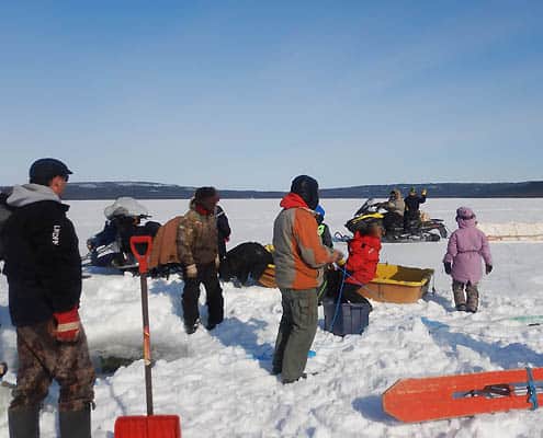
 Changes to the ice in the winter and water levels in the summer are making travel dangerous across the Great Slave watershed. These hazards are leading to changes in travel routes, as well as hunting and trapping practices. To manage change, community members recommend youth take advantage of new technologies that will support safe travel.
 The Peel River watershed is also experiencing lower water levels and increased sandbars. These unexpected hazards make the river unfamiliar to community members and unsafe to travel.
 The health of Athabasca communities is linked with the health of the water. In the Denesuline worldview, the lakes, rivers, land, animals, plants, and people are interdependent. When one aspect of the natural world is disrupted, there are domino effects.
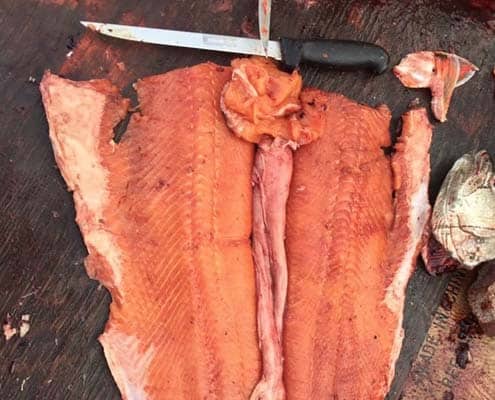 Fishing and being on the land are vital to the various communities and cultures across the Great Bear region. Diverse country food sources contribute to food security and health.
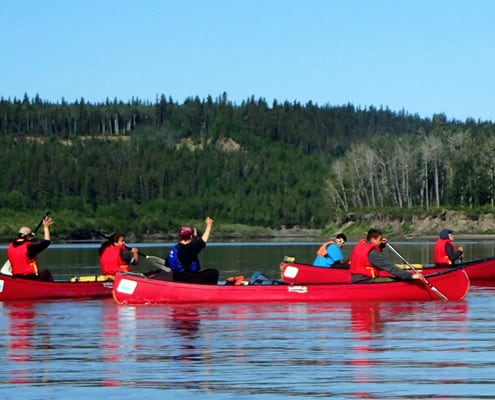 People across the Great Slave watershed understand that the health of their communities is linked with the health of the fish and the water. Everything is interconnected. Healthy country foods and spiritual sites are inherent to community well-being.
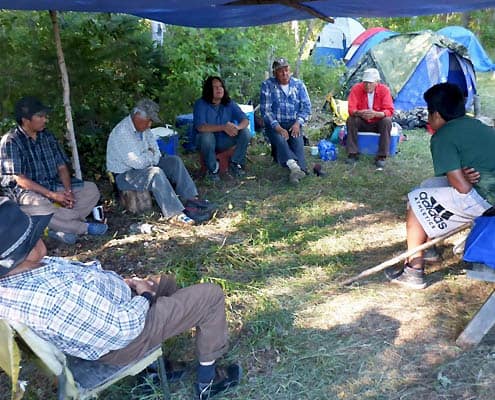 “We’ve been taught in school about how we ‘survived.’ I contest that in our language there is no word for ‘survival.’ I always talk about aboriginal beliefs, knowledge and skills. They came from the land, we applied what the land taught us to apply. There was no survival on the land. Aboriginal people were thriving on the land. Now we are surviving. We didn’t struggle to survive before, today we struggle to survive. Because our capacity as aboriginal people has been taken away from us, today we struggle to survive. Water is becoming scarce because water is scarce animals are becoming scarce.” – Chief Roy Fabian
 In the Peace River region, healthy water is key to community health – now and for the future.
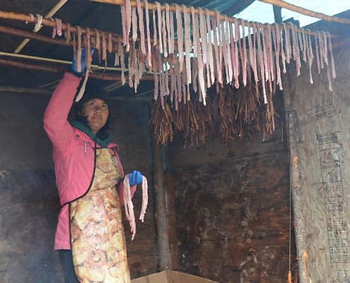 Fish are deeply connected with well-being for people in the Peel River region.
 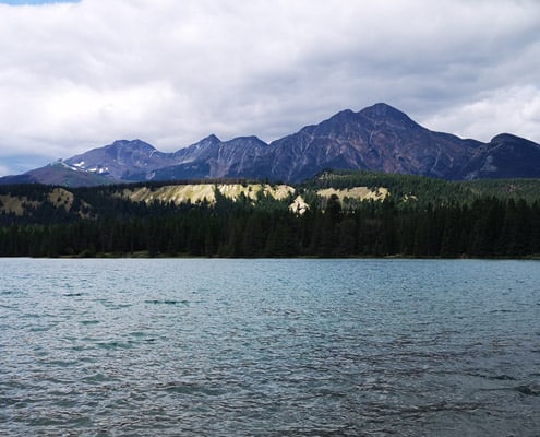 “Back in the day, our ancestors respected the land. We respected the land and we pay the land and water. Nothing was wasted nor destroyed. We used to use caches, …. We survived by those caches. We have cultural things happening, we should use at least three elders to teach our ways. Even our language is changing. At cultural events, we see and hear young people’s language. Their language has changed. … We teach them proper way to saying words in Dene. English language is strong now.” – GSP
 “I guess my generation, we grew up on fish basically, it was the main diet. And I’ve noticed over the years that a lot of young people don’t eat fish…. Elders tell us that if you eat lots of fish you’re more energetic. You’re actually stronger. And if you eat a lot of fish you don’t feel the cold. Because we got seven months of winter in our country here. So, I think those kind of points and information people need to know. We should share that.”
 Community members have two aims for youth: to pass on important components of culture and support youth in adapting in the future.
 Dene Tha’ Elders feel they have lost considerable control over the management of their traditional lands and waters and that affects their ability to properly protect the land and carry out their traditional activities. This is a source of deep frustration.
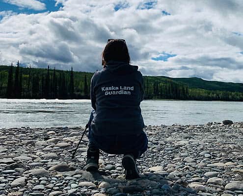
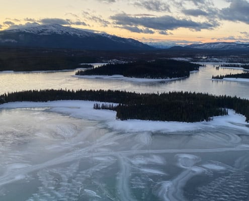 The Dena Kayeh Institute of the Kaska Dena prioritized youth as they set up a community water monitoring program. This program is part of the community’s efforts to establish a Guardian program on their traditional lands.
 “The Peace is everything for us. It’s the historic river that gave birth to our treaty. It
 Traditional knowledge and modern scientific research are both important in Nacho Nayak Dun youth education.
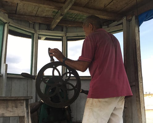 Involving fishers in information gathering is key to the future health of communities in the Brazilian Amazon. Where the government does not sufficiently monitor, participatory research methods may collaborate with fishers to impact decision-making.
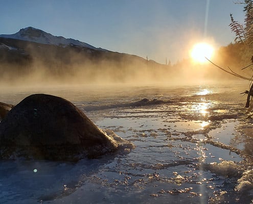 Nothing for commercial fishing. The store buyer in Prince Albert has closed and also our local fish plant. But for fishing to eat, it is our treaty right and we continue to practice that right. George also talked about his encounter with a conservation officer threatening him about fishing a while back. – GSP
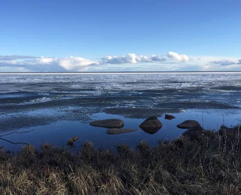 “Scientific research programs would be improved with more partnerships with local fishers and on the land programs. By working more closely with the local fishers we can learn more about different changes that are occurring in the ecosystem and how to improve our monitoring of these changes.” – FJMC 2016-17 Report
  Through the sharing of Traditional Knowledge, communities in the Great Slave region are determining how to deal with the problems communities face now and into the future. With stewardship and community health as priorities, local monitoring is informing co-management policies and practices.
 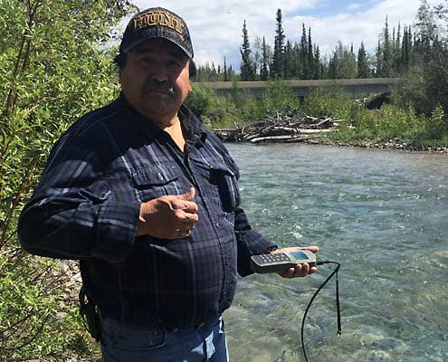 Water from all sources is held in very high regard in the Liard River region, and conservation of water is a very high priority. As a result, a water monitoring program is central to community efforts to establish a Guardian program on traditional lands.
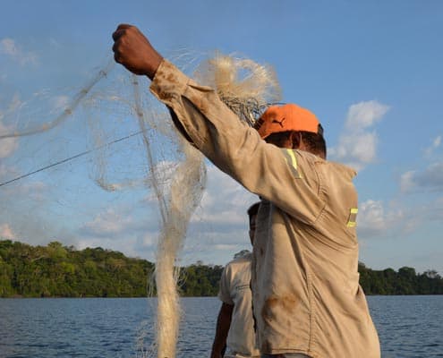
 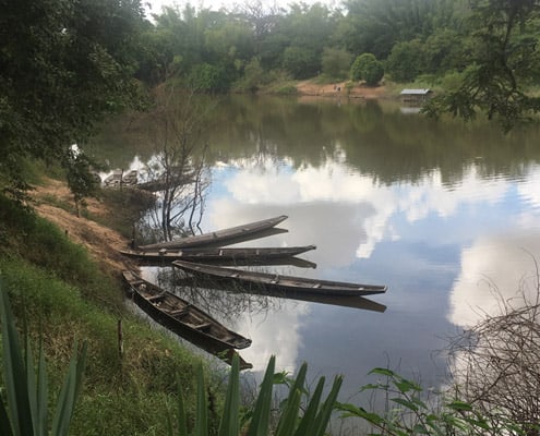 The research in the Mekong River Basin focuses on involving local people and local researchers in order to investigate how deep knowledge about fish and fish migrations is shared through social networks that extend over space, including across national borders and across generations. This research gives insight into how local people can impact future decision-making.
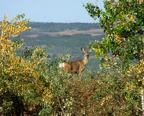 “I was amazed at what beauty there was along the Peace River. We need to save the fish and the eagles and all the medicines that we gathered.” – Raymond Needlay, Ft. Nelson FN Elder
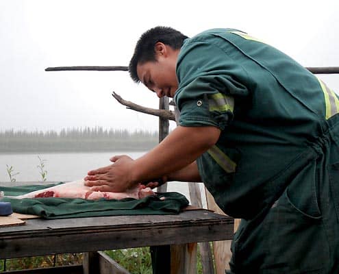 Fish monitoring has been an ongoing part of life in the Peel River region. For years, the Nacho Nyak Dun have monitored salmon and water in the Steward River Basin. Plans to similarly monitor the Peel River watershed are underway.
 Local people living along the Mekong River and its tributary, the Sebok River, have a deep connection to the ecosystem, as well as longstanding knowledge and practices that are critical to their fishing livelihoods.
By Summary > Where are the fish?
Mackenzie River Basin
 Yep, water is too low for fish now. Where it is deep that is where the fish go where it is cold. When the water was up last time we boat here you could just see jackfish… Just some places where the creek comes out into the water… there you find pickerel that is really fat. - Raymond Martel
It is clear that fish populations are changing. Across the Mackenzie Basin, people are noticing changes in the numbers and types of fish, as well as the distribution of fish across the region.
New fish are appearing
Increasingly, people are noticing fish that have not been seen before in the Basin. Many communities are noticing salmon numbers increase in places they have not been found before. In other communities, people have observed fish that are unfamiliar and have yet to be identified.
Some fish are becoming less common
Causes such as warmer water temperatures and commercial fishing activities have impacted fish stocks. As a result, communities that rely on fish for food are facing food insecurity.
Traditional practices
Throughout the basin, traditional practices for respecting (managing) fish and fish habitats are very evident. These practices have evolved based on generations of traditional knowledge. For example, many people fishing follow the principle: “take only what you need.”
By Summary > Can I eat the fish?
Mackenzie River Basin
 More than twenty species and thousands of pounds of fish are harvested each year in the Mackenzie River Basin, including the deltas, numerous tributary rivers, and nearby lakes. Communities across the basin follow traditional practices for respecting fish, which are foundational to local diets.
However, contaminated water is affecting fish health and threatening the food security of communities across the region. Changes to fish health are particularly concerning for communities in the southern part of the Basin (specifically in Alberta, Saskatchewan, and British Columbia) where resource development activity is significant.
Based on local and traditional knowledge, these indicators can help determine whether fish is safe to eat:
Is the fish flesh soft?
If the fish's flesh is so soft that it is difficult to cut, it is a sign that the fish is unhealthy.
Are there irregularities in the fish?
Internal irregularities, such as discolored livers or stomachs, indicate unhealthy fish. You may also notice fish with less fat around their entrails. Some fish may also have tumors in their stomachs or other organs.
Other irregularities may be on the outside of the fish, such as sores, lumps, scars, and scabs. You may notice these changes either on the skin or the faces of fish.
Does the fish have parasites?
A high number of parasites such as worms is not a good sign.
Is the fish skinny?
Fish that are skinnier than expected are not likely to be healthy. Skinny fish often appear to have big heads compared with their thin bodies. A healthy fish would be meatier and “look healthy.”
Has the fish been tested for toxins such as mercury?
Fish in some regions are closely monitored for contaminants, including through community-based monitoring programs. Advisories alerting communities about high levels of toxins are a clear sign that the fish are unsafe to eat.
Are the eggs healthy?
When fish eggs are discoloured or are not ready at the expected time, the fish population may not be healthy.
Are local harvesters afraid to sell fish?
Where harvesters are aware of high chemical contents (like mercury) or changes in fish health as described above, they will not sell fish for fear of making people sick. Where people are actively harvesting, the fish are likely to be healthy and safe to eat. Listening to harvesters is one way to know if the fish in an area is safe to catch and eat.
What is upstream?
Industrial and hydroelectric development can affect fish health. Flooding from dams can deposit toxins such as mercury into the water. Contaminants can also seep from tailings ponds, and arsenic can be deposited into the water by mining operations. Even chemicals used in farmers’ fields may enter the water system. As water quality changes, so do the health of the fish.
Are there other changes to the land and water that could affect fish health?
Climate change affects fish health by warming the water. Increased numbers of forest fires deposit high levels of ashes, which contaminate the water. Also, when permafrost melts due to warming temperatures, contaminants such as mercury are released into the water.
By Summary > Can I drink the water?
Mackenzie River Basin
“Water is the most important thing in our communities. Trying to protect is so important to our land and to our people. Not one person can say they can live without water – we all need it. We have to protect it for our future generations. We have to try our best to protect our water for us and our land.” – Chief Lynette Tsakoza, Prophet River First Nation
Water is life. It nourishes the land and our bodies. But only if the water is healthy and safe.
Local knowledge can help point to safe sources of water and keep community members away from sources that make people sick. It is a sign if community members are seeking out freshwater springs, muskeg, or bottled water rather than drinking water from lakes or rivers.
Some communities in the Mackenzie River Basin feel strongly that their local water sources are fresh and healthy, while others notice signs that the water is unfit to drink. Based on local and traditional knowledge, these indicators can help determine whether water is safe:
Is the water colorless and clear?
Notice the color of the water and if there have been changes to it over time. Water might be grey or brown from silt, sand, or sewage flowing into it. It may be green or slimy, or filled with algae. Downstream from industries, the water might carry a red/orange dust-like substance.
How does the water taste?
When it tastes clean or taste-free, it is a good sign that the water might be clean.
Are there animals nearby?
Some communities have seen increasing numbers of beavers over the past years. Beavers negatively impact the health of drinking water, giving people “beaver fever.”
What is upstream?
Industrial developments upstream, such as oil sands and tailings ponds, hydroelectric dams, and mines, may release toxins into the water system. The same is true for garbage dumps and sewage.
Are there known contaminants?
Some rivers and other bodies of water are closely monitored for contaminants, including by communities through community-based monitoring programs. Monitoring systems may inform communities of contaminants like mercury, lead, zinc, uranium, or phosphorus that are harmful to health. Water advisories are a key sign that water is not safe to drink.
By Summary > How is the land changing?
Mackenzie River Basin
"Every year is changing. Everything [is] changing, even the water someday. I could see it from the air when I go on a plane. See some lakes are just black or brown water. Everything is changing - we used to have good water. You know down the bank you see all those willows. It never used to be like that. White River, the boats used to land right down the bank from the Northern. Even those days they call banana boats. Schooners and that, they’d land on the bank. You can’t do that now. Too [many] willows, and ah, just like mostly sandbars like that all over. Even up the river is like that." - Emma Kaye, in her home in Fort McPherson
The land is changing in interconnected ways. The health of the fish is connected to the health of the water. Changes in the water are linked with changes on the land, such as slumping, erosion, and increased forest fires. Changes on the land are connected to wildlife patterns.
All of these changes are connected with community life. Water sources are drying up, travel is becoming more costly, and it is more difficult to access harvesting areas and cultural sites.
Changes to water levels
Across the Mackenzie River Basin, many reports tell of decreased water levels and water flows. These changes may be the result of warming weather and lower levels of precipitation, including decreased snowfall in winter. They may also be attributed to erosion; as the banks of rivers collapse, the rivers become shallower.
In some locations, spurts of increased rainfall lead to floods, followed by returns to lower water levels and droughts.
Permafrost thaw
With warming temperatures, the permafrost is thawing. People notice the land collapsing and forming what they describe as “sinkholes.” Sometimes, trees collapse with the land. In other cases, as the land thaws, it becomes softer, wetter, and more difficult to walk across.
Increasing forest fires
Lower water levels and drying land leads to an increase in forest fires in some areas.
Changes in wildlife patterns
Wildlife patterns are changing with the land. Some species, like beavers, are becoming more prevalent in some areas, having further impacts on water levels via the construction of dams. Others are moving away from certain areas or altering migration patterns, perhaps due to climate changes and access to food.
Human communities are affected by changes to wildlife, at times having to change harvesting practices, alter diets, or find alternative water sources where animals such as beavers have made it unhealthy to drink (beaver fever).
By Summary > Is it safe to travel?
Mackenzie River Basin
 Travel is becoming more difficult and more dangerous across the Mackenzie River Basin. With changes to both waterways and winter roads, people cannot always rely on travel routes and knowledge from the past.
Summer travel
Due to lower water levels and increased erosion, there are more sandbars in waterways. In some regions, small waterways and canals are drying up. These changes make boating hazardous and at times impossible.
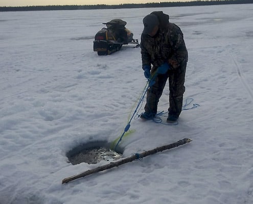
Winter travel
Ice is drastically thinner than in the past. It also has a different consistency, more like slush. Winter ice freezes later and breaks up earlier, making travel unpredictable and unsafe.
How are people adapting?
Current local knowledge is key to safety on the land. It is difficult for Elders to share knowledge of safe travel routes with young people because the conditions are changing so quickly.
Some communities are increasingly relying on technology to support safe travel, including monitoring systems and apps that provide real-time information about conditions.
By Summary > How healthy are we?
Mackenzie River Basin
 The Tłı̨chǫ, like other Indigenous people, consider human behaviour as an indicator of the health of the land—including water, fish, and animals. It is essential to manage human behaviour/to respect fish and water (and all beings), to ensure that they thrive. - Wek’èezhìı Renewable Resources Board Report, 2018
Fishing is important to the food security, culture, and well-being of communities in the Mackenzie River Basin. Communities desire to thrive rather than merely survive.
Expensive and less nutritious store-bought food
Due to decreased access to clean water and stable, healthy sites for harvesting, communities increasingly rely on store-bought options, which are very expensive and often less nutritious. Restoring food security to communities is imperative to their health now and in the future.
Adapting to change
A current challenge facing the health of communities across the Mackenzie is the increased pace of change. As climate change and industrial development increase, communities are under pressure to make quick adaptive responses. Elders express how Indigenous peoples are resilient and have been adapting to change for generations. However, balancing community health and the pace of change remains a challenge.
Decision-making in support of community health
Elders express how communities are in a better position to adapt when they have control over the management of their traditional lands and waters. Without decision-making that supports the protection of the land and communities’ traditional activities, communities become frustrated and feel powerless to build healthy futures.
Fishing and fostering holistic health of communities
Fishing and spending time on the land have a positive impact on community health. Fishing not only provides a sustainable source of healthy food but is also an activity that keeps people connected with their land and culture. Traditional harvesting practices also maintain community respect for fish, water, and other beings, which is passed on from generation to generation.
Fishing is an inherent right protected both by the Canadian constitution as well as in treaties and comprehensive land claim agreements.
Building healthy futures
Communities are supporting healthy futures by monitoring the land and water, as well as by producing their own data that is important for stewardship. By gathering information about the impacts of resource development, climate change, and other issues, communities are able to make informed decisions to ensure healthy communities.
By Summary > What about the youth?
Mackenzie River Basin
 Youth and Elder interactions are important to communities across the Mackenzie River Basin. All communities are promoting intergenerational knowledge transmission so that young people can both maintain their culture but also adapt to changes using knowledge from the past.
Concerns for the future
Continuity: in some communities, there are few opportunities for Elders to teach young people traditional fishing practices.
Language: at times, language is a barrier between Elders and young people, who do not speak their Indigenous languages.
"Consumerism and technology: alternative interests are distracting young people from life on the land. Some Elders are not sure why young people are not interested, but there is a sense that they “don’t want to go into the bush no more” (Willie Martel).
Due to these concerns, communities are carefully looking for the right ways to engage and motivate youth.
Ways of engaging youth
In addition to informal learning that happens every day, communities are supporting youth learning through a variety of initiatives such as fish camps, canoe trips, youth knowledge fairs, and youth involvement in governance and decision making.
Youth play various roles in these activities, including leadership, research, video documentation, camp maintenance, and more.
Goals for youth learning
Youth education in the Mackenzie focuses on developing interest and capacity for:
- Getting on the land to fish
- Traditional practices
- Monitoring programs
- Fish sampling
- Environmental sciences and land-based knowledge
- Using technology complement traditional practices and knowledge sharing
Knowledge and capacity building will not only support the continuation of Indigenous cultures but also help youth adapt to the changing land, using knowledge passed on from Elders and land users.
Youth action
In many cases, youth are already acting for their futures. They are seeking ways to influence the governance of the Mackenzie River Basin to ensure that their rights and interests in fishing resources are respected for the future.
By Summary > What about the future?
 Mackenzie River Basin
"Water is the most important thing in our communities. Trying to protect is so important to our land and to our people. Not one person can say they can live without water – we all need it. We have to protect it for our future generations. We have to try our best to protect our water for us and our land." – Chief Lynette TsakozaCommunities in the Mackenzie, Amazon, and Mekong river basins are actively contributing to research and decision-making with a vision for the future health of water and fish. Through community-based monitoring and collaborative research initiatives, communities are gathering Traditional Knowledge considered important for stewardship. This includes producing data about the impacts of resource development and climate change. Co-management is important. We share the land with Canada, we didn’t give it away. How can we do integrated processes, using scientific and traditional knowledge? For example, include the fishermen in the process – they have a lot of knowledge developed over decades of fishing. This knowledge needs to be considered too. We need to think not only about what we can do, not only the scientific process but other groups that have been managing resources, and see how we can work together to manage these systems. We need to look at this process and see what we can do to integrate our knowledge (First Nations, foundations, industry, etc.) and manage better. We need to make sure we’re all at the table, not just industry and the government. We need to be there. – Chief Roy Fabian Applying knowledge to secure futures Key to healthy futures is strengthening community leadership in a number of areas:
- Monitoring and stewardship
- Exploring strategies for sustainable fishing
- Providing opportunities for cross-community, cross-regional, and cross-cultural knowledge and skills transfer
- Documenting traditional and evolving systems for knowledge transfer
- Developing policy and water-related climate adaptation strategies
By Summary > Climate impacts
Mackenzie River Basin
"I see it today. And I don’t know how they know. Because my Dad was telling me, it’s not only me, we’re [a] pretty big family… he would talk to everybody, and he was talking about the ground. He said ‘this ground right here has got ice underneath it.’ And he said, ‘in the end, the sun is going to be very hot. And the ice will start melting." - Mary Effie Snowshoe, in her home in Fort McPherson, NT, August 30, 2017
Community members across the Mackenzie River Basin link a number of environmental changes to climate change. These include changes to seasonal patterns, changes to water levels and water temperatures, increased erosion, and changes in wildlife, which have been observed over time. These changes impact access to traditional fishing areas and affect community livelihoods.
Changing seasonal patterns
Warmer summers and milder winters are beginning to characterize regions across the Mackenzie. In the summer, fishing is limited by warm water temperatures that cause the fish to rot or burn in the nets if they are not retrieved quickly.
In the winter, people say that today’s temperatures do not compare with the cold temperatures of the past.
We’re getting shorter winters now. Sometimes we get a lot of snow, sometimes not much at all. We got less snow these last few years. More snow helps the lake level go up. - Łutsël K’e Dene First Nation canoe trip participant
Today is so different; life is different, the climate is completely different. I say that because we live on a hill, and below the hill was the road, and in the wintertime, when the wagon went by, all you see was the top of the horses and the guys sitting on the wagon seat, you did not see the wagon, you did not see the legs, that’s how deep the snow was. - Sturgeon Lake First Nation
It is warmer than before, and … wetter [in winter]. “You don’t need a parka for skidooing now, you get wet, not cold. The skidoo heat keeps you warm but wet.” In his early life, this participant described, his family lived in a cabin and in the winter it would be so cold the locks would burst. - Dehcho K’ehodi Program participant
Warming temperatures affect ice freeze-up and break-up dates. Changes in the ice limit the ice fishing season.
Travel is also significantly impacted. While ice used to form rapidly into solid form, it now takes time to freeze and comes apart easily. In Tulita, community members have noticed more frequent and fiercer winds over the last ten years or so. Travel is becoming increasingly unsafe, and it is more difficult for people to access harvesting locations. As a result, land-based provisions are becoming more difficult to access.
Changing water levels
Changing weather and lower levels of precipitation are also linked to decreased water levels, including dried-up creeks.
The whole [Artillery] Lake [water level] has gone down. About five feet, I’d say. And that’s probably been within the last ten to fourteen years, something like that. I noticed, we started getting longer summers. And we’re starting to see more storms. A lot of lightning storms. For me, the storms have also increased during the fall. People say they never used to see lightning storms in barren lands. Now you see them. - Łutsël K’e Dene First Nation canoe trip participant
Changing water temperatures
Warming water temperatures are connected to changes in ice freeze-up and break-up. But warming water also significantly impacts fish health and fishing practices.
Community members remark that warming water affects the timing and location of spawning areas and, consequently, the timing and location of harvesting activities. Warming water also affects the condition of fish including the size and flesh of fish, which is described as getting softer. Fishers find they must check their nets every day, as fish will spoil much faster because of warmer water temperatures.
Erosion and landslides
As water and temperatures warm, permafrost is becoming unstable in the northern regions of the Mackenzie River Basin. As permafrost thaws, river banks erode, trees fall into the water, river islands erode, and the water becomes muddier.
Erosion affects fish habitat and movements, along with fishing and related practices. Some people have lost cabins or access to key fishing areas to erosion and sinkholes.
Vegetation and wildlife
As the climate changes, so do vegetation and wildlife. Most commonly, people speak of increasing beaver populations. By contrast, cold-weather animals like moose and caribou are seen less frequently than in the past. Muskox are changing their habitats. And rabbits, birds, and even mosquitoes seem to be declining in numbers.
Well, the weather's changing, but slow. I notice it's getting warmer, but some years it stays colder. Now it gets nasty when it gets hot, it's really hot. Other than that, nothing much changes. Some years, there are some birds. Not as much as last year. This year, those brown birds used to pass through not very many. But next year, there might be lots, so everything changes every year. - Eddy Drybones
Some vegetation is thriving in the warmer weather. In some places, willows are growing faster than usual, but without the soft mild buds that moose like to feed on. This could be one reason the moose are moving to other regions.
Forest fires
Extreme forest fire events have occurred in Saskatchewan, the Northwest Territories, and Alberta. Fires cause stress to fish populations due to changes in water quality.
Fires also change the landscape. Today, Denesoline remark on the scars from the huge forest fire behind the Spiritual Gathering site. The land around the area of Desnethche is very sacred. Denesoline travel there for a plethora of reasons but for some, it is to heal and pay respect to the Lady of the Falls.
"In an area like that too, black sand and stuff like that. It's just a lot of burnt grounds to it, a lot of forest fires in the past. In the woods. I could tell it might grow. Regrow itself, animals come back. It's like a circle, I guess." - Roger Catholique
Problematically, unusually intense fires may continue to increase with climate change.
By Summary > Oil sands and mining
Mackenzie River Basin
"...it’s hard to get by sometimes. We aren’t miners, we’re bush people. It’s really scary. What’s happening at the mines. I know they say it’s okay, it won’t affect the environment, but when they’re gone we’re going to have to deal with it. I don’t know what’s going to happen there.- Joseph Catholique
Many contaminated sites throughout the Mackenzie River Basin, such as abandoned mines, exploration sites, and tailings ponds, have altered the relationship of communities to places that were traditionally valued for fishing and other cultural uses. Changes to local aquatic ecosystems affect the cultural, economic, and spiritual lives of local communities. They also affect the capacity of First Nations to exercise their rights to harvest and maintain traditional livelihoods.
Most notably, community members share impacts of oil sands mining activity in Northern Alberta, the Giant Mine near Yellowknife, and the Faro mine in Yukon.
Shifts in water systems
The draining of lakes and rerouting of groundwater as a result of diamond and bitumen mining activity is a fundamental concern.
Mikisew Cree Elders began recognizing changes to the Athabasca River flows beginning 20-25 years ago when water levels began to drop significantly, particularly in the late summer and early fall. Many Elders attribute this to the land clearing and bitumen mining in the lower Athabasca River.
Changes to the flow and depth of the river have significant consequences. Rivers are necessary to food security, culture, and medical access. Without consistent flow, communities may be cut off from affordable sources of food, along with means of cultural transmission. Risky travel on unpredictable rivers may also lead to injury or death on the water.
Increased toxins
Community members are concerned about mercury and arsenic pollution near mining sites and tailings ponds.
"I don’t know. I think the water is getting contaminated. With, I think, arsenic. Arsenic. This the mine and people used to dump there." - Eric Marlowe
Declining fish health and populations
Contamination has led to the loss of biodiversity, including fish valued for food security by First Nations communities in the southern part of the Basin. For example, Lake Trout were extirpated from Lesser Slave Lake in the 1930s.
Abandoned gold mines at Yellowknife are of great concern due to the presence of arsenic in the water and the potential to harm local fish. Near Łutsël K’e, many people no longer fish in Snap Lake and Gahcho Kue due to these impacts.
Similarly, Dene Elders have observed smaller fish in lakes and rivers as well as deformed fish and new species, which they attribute to habitat disruptions resulting from mining exploration. Denesuline has observed drilling in the bottom of lakes for years.
Downstream impacts
Downstream communities are concerned with the impacts of upstream resource development.
Inuvialuit in the Mackenzie River Delta, as well as Gwich’in communities along the river, are concerned with toxic impacts on local fish, which would affect subsistence and cultural activities in their communities.
Local responses
Local communities research and share knowledge of the impacts of oil sands and mining.
The Yellowknives Dene First Nations have been deeply involved in various kinds of research initiatives and consultations regarding the impacts of this mine on their health, culture, and livelihood. People are hesitant to support mines, which are understood to be a cause of unhealthy fish.
"In general, it is believed, that where there are mines the fish are unhealthy, and where there are no mines the fish are healthy." - Yellowknives Dene First Nation Elder
Community-based monitoring
The Mikisew Cree uses community-based monitoring programs to track contaminants from oil sands. The community also tracks the flow of the river to ensure access to seasonal harvesting areas, as well as safe transportation of people and resources such as food.
Community-based monitoring by the Mikisew Cree points to a deep failure of the Government of Alberta to support federally-protected treaty rights. Instead, government policy prioritizes industrial needs. In response, Mikisew are strongly advocating for policy change.
Research-based advocacy
Denesuline emphasizes the need for Indigenous perspectives to inform rigorous environmental reviews that will prevent further damage to freshwater systems. Decisions should be based on research with communities.
"I believe this information is going to be good for the future, we need a strong position about water, we have all kinds of uranium here, big potential, other metals, soon they will come to mine. We don’t want our water to be destroyed. We know pollution will eventually come here. The wind and water movement will affect us in the future. We don’t want our water destroyed, we have to watch, we need a strong position. You will need to develop a strong position paper." - Echodh
By Summary > Hydro development
Mackenzie Basin
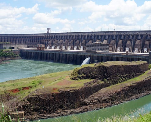
"When they first built the Bennett Dam, there were deep impacts, changes to water levels and quality. The Peace River is such an important river. Water is life, we can’t eat money. We don’t do anything at Beaver First Nation for money—we do things in a forward-thinking way. Money comes and goes, but the land is there forever." - Chief Trevor Mercredi
Across the Mackenzie River Basin, and especially in the Peace-Athabasca-Slave River systems where hydroelectric projects have been developed and are expanding, communities experience multiple effects of dams.
Hydroelectric projects harm the relationship of First Nations and other communities to these river systems, the integrity of sacred and cultural sites such as burial areas, access to traditional fishing areas, the health of fish valued for food security, and many other related values and uses.
Impacts of hydroelectric projects
On water
The impacts of hydroelectric projects are multiple, including lower water levels, decreased water quality, and unpredictable water flows. These changes to water impact ice consistency, freeze-up, and thaw, leading to uncertainty in communities about ice safety and an increase in accidents associated with thinning ice.
Nacho Nyak Dun First Nation has documented changes in the Mayo River in response to hydroelectric development. The river does not freeze the same, water levels are unpredictable, groundwater is changing, and ice jams in the river.
The water in the Peace River and Peace Athabasca Delta has been similarly harmed.
"When [the] Bennet Dam started, losing the water, there’s no more fresh water that comes in. Like every 4 years, we used to have fresh water. We used to have ice jams, and clear out all the bad water, clean everything out, strain it out, and then clean water would come in. We don’t see that anymore after the Bennet Dam. Before that, we used to have lots of clean water that would come in. You don’t have to pack water like today. Out there you got fresh water all the time and that’s what." - Mikisew Elder
On access to healthy fish
Key fishing areas are increasingly inaccessible due to hydroelectric projects. Shallow water resulting from dams leads to a decline in fish populations.
"After the Bennett Dam, the fish went down, it got too shallow. During freeze-up, [there were] no fish in Quatre Fourche River. I tried it a couple of years now in the springtime, 2 years ago. Under the ice and there’s no fish, as soon as the ice broke up then there was fish." - Mikisew Elder
Even when fish are accessible, they are found to be unhealthy due to high mercury levels resulting from flooding due to dams.
Community members from Łutsël K’e consider fish in the area around Nonacho Lake to be “ruined” due to flooding from the Talston River Hydroelectric Project. Increased mercury levels and changes in the quality of fish tissue make them no longer good to eat.
On animal harvests
Elders in the Peace Athabasca Delta attribute the collapse of profitable muskrat harvest to decreasing water levels caused by the Bennett Dam.
"Muskrats, years ago, in the 70s… even early 70s and 60s. There were lots of muskrat around this area. People used to kill 3000 or 4000 rats in a trapping season. I guess the reason there [were] lots of rats in those days was [that] there was a lot of water. Water was high. [There was] always water out in the lakes and ponds and …. Lots of muskrats all over. Once the water started going down, once the water dropped… Every year after the Bennett Dam, the water is worse than ever. Now there are no muskrats anymore. They’re gone." - Joe Vermillion, Mikise Cree First Nation (from McLachlan, 2012)
On spirituality and culture
Key cultural sites are no longer useful due to contaminated fish, or are no longer accessible due to flooding from dams. These changes alienate communities from meaningful locations.
The Łutsël K’e Dene First Nation believes that a powerful medicine woman sits in the Lockhart River. Each year, the Łutsël K’e Dene First Nation go to the site for a Spiritual Gathering. They have also regularly visited gravesites around Nonacho Lake. Due to hydroelectric projects, they are increasingly alienated from key sites, and they have not been compensated for these losses.
Community decision-making on hydroelectric projects
Communities express concerns and at times opposition to hydroelectric development. For instance, proposed hydroelectric projects at Fraser Falls and 2 Mile site on the Stewart River are strongly opposed by many members of Nacho Nyak Dun First Nation due to their impacts to spawning areas and cultural sites.
Industry-driven decision-making often disregards First Nations input. On the Peace River, for example, BC Hydro did their own environmental assessment on Site C. Further, they turned away First Nations from contributing to assessments and decision-making, saying there will be no impacts to rights and interests.
Some communities have responded with legal action. The Łutsël K’e Dene First Nation, for example, has filed a court case against the dam on Nonacho Lake, which was built without any consultation with or compensation for the community.
Other communities emphasize the need to educate young people about these issues.
We have a real fear of water quality, water shortage. We have to do everything we can. You don’t have to be a leader to speak your mind. We need everybody to stand up. If we teach our kids that that drop of water is the most important thing on the planet, they will grow up respecting it. – Chief Trevor Mercredi
Amazon Basin
 The three rivers studied by Tracking Change - the Tapajós, Tocantins, and Trombetas - each have a high fish diversity, which could be threatened by hydroelectric development projects.
While the Tapajós have no dams yet, dams along the Tocantins have created stress for local communities and species. Interviews with fishers indicate the potential effects of the São Luiz do Tapajós (SLT) Dam on the people living along the river.
Impacts on fish
Every community considers particular fish “priorities” for their food security and economic sustainability. Along the Tapajós, approximately one-third of the total number of prioritized fish would be affected by the SLT dam. The effects would be felt most strongly closest to the dam, but people far downstream would also be affected. All of these communities must be considered in decision-making about the dam.
Economic factors
With decreased access to fish, community members lose reduced household income and communities lose their regional economies. These losses threaten food security at the household and regional levels.
As an example, in the lower Tapajós, floodplain fish such as the Tucunare´ and Acaratinga may become more difficult to access due to changes in water levels. As a result, fishers may need to travel further to new fishing sites, increasing the fuel costs and time spent fishing. As a result, fishers’ economic revenues would decrease. The viability of the local economy would also be threatened.
Social factors
With a decrease in fish availability, people living along the Tapajós will not only lose a main source of protein but also a key source of income. As a result, many may need to change employment, which is difficult for fishers who are typically skilled in their sole occupation.
Impacts differ according to social factors such as age and gender. Age In the lower Tapajós, many fishers have other sources of income in addition to fishing. By contrast, in the middle Tapajós, fishers tend to be older and are more dependent on fisheries for their primary income. These differences must be considered in mitigation plans for hydroelectric development. Gender Most fishers are men who contribute income to the entire household. As a result, losses to fishery catches would threaten the most important, and sometimes only, source of income for local households, which typically hold more than four people.
For female fishers who are economically independent, losing their income may mean they become completely economically dependent on men.
Cultural factors
Losing fishing livelihoods results in stress to fishers and their families, whose identities and cultures are linked with fishing.
Complex spearfishing techniques have been used by Amazonian fishers for generations as a legacy of the Indigenous people. Because spearfishing techniques are commonly used in flooded areas, changes in the river due to the SLT dam could make spearfishing obsolete. This would threaten the cultural heritage of fishers.
Mekong Basin
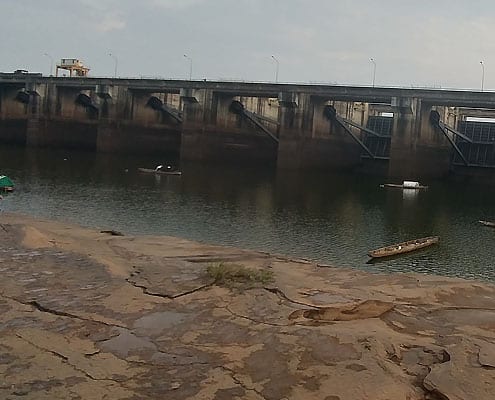 Local people living along the Mekong River and its tributary, the Sebok River, have a deep connection to the ecosystem, as well as longstanding knowledge and practices that are critical to their fishing livelihoods.
While local people carry significant knowledge about fish migrations, this knowledge is impacted by the presence of dams, such as the Pak Mun.
Knowledge transfer interrupted
The Pak Mun dam and dams along the Sesan River have blocked fish migrations and made river transportation up and down the river more.
People above and below a dam do not communicate about fish migrations as much as before, since fish migrations are now limited. However, some knowledge sharing still occurs.
Impacts of dams
Local people share the impacts of dams on various components of life along the river, including:
On fisheries:
The Pak Mun and Ban Ot dams have negatively impacted fisheries, but with effects on different species that migrate through the Mekong and Sebok rivers.
On livelihoods:
Many local people can no longer support themselves on fishing alone. These people have coped with the loss of fishing livelihoods by migrating to bigger cities to look for work, switching to manual labor for income, farming fish, purchasing fish from the market for food, and agricultural work.
On women:
Women carry the most household responsibilities for food collection and income generation for their families, which hydroelectric dams threaten by impacting fish populations. Typically, women living just below the Mekong dams experience a reduced quality of life after dam construction due to difficulties accessing fish for food. It is more difficult for women to recuperate from these challenges, as many programs compensate men for fishing losses.
Fishing knowledge is still important
Fishers still have key knowledge that can give insight into the impacts of dams. Fisher knowledge, combined with science and village fish catch data through community-based impact assessments, provides information that can shape future hydroelectric development projects and also define how the current dams could better serve communities.
By Summary > Cumulative Impacts
Mackenzie River Basin
Listening to people from across the Mackenzie River Basin, it becomes clear that climate change, logging, agriculture, mining, petroleum, seismic, and hydroelectric projects combine to cause cumulative impacts on the water and surrounding life.
Multiple barriers intersect to limit access to traditional fishing sites and fishing practices. These include concerns about fish health, changes to rivers, the high cost of travel and food, and cultural change.
A need to study cumulative impactsIn order to address these issues, members of Treaty 8 express the need to go beyond the project-by-project studies conducted by companies. Instead, they call for comprehensive “big picture” studies of cumulative impacts on fish and water.
Community-based researchCommunity-based research is one-way communities are tracking cumulative impacts in various regions across the Mackenzie.
The Mikisew Cree First Nation has begun a Community Based Monitoring program to track the cumulative effects of climate change, hydroelectric development on the Peace River, and tar sands exploitation on the Athabasca River. The combined pressures of these forces have reduced the amount of water reading the Peace-Athabasca Delta and upset the ecological balance in the area, impacting fish, wildlife, and human safety, and food sovereignty. A custom app and database enable the Mikisew Cree to continue to track these changes.
The Tłı̨chǫ are also engaged in local monitoring, which they see as an integral part of using and respecting fish. By basing monitoring on Tłı̨chǫ knowledge, co-management is better prepared to recognize and address cumulative effects.
Future orientation and actionCommunities remain uncertain about how changes to fish and water will evolve in the near and distant future, especially given the multiple factors that contribute to change—some known and some yet unknown. They agree that ongoing monitoring is essential.
Denesoline in the Athabasca region sees the need to complement monitoring with action. They note the warning signals of cumulative impacts of industrial activity, forestry practices, climate change, forest fires, and extreme weather conditions. To build off ongoing research and monitoring, they recommend restorative action, political will, and humanitarian wisdom in directing future responses.